Geografische Daten in Ihren .NET 8 Reports visualisieren
.NET 8 WinForms Reporting-Komponenten mit integrierter Kartenunterstützung ermöglichen es, Geschäftsdaten nach geografischem Standort anzuzeigen.
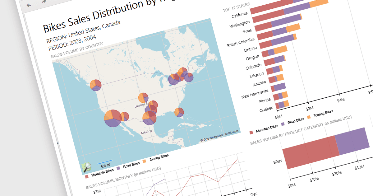
Berichtssteuerungen mit Kartenunterstützung ermöglichen es Entwicklern, aufschlussreiche Berichte zu erstellen, indem sie standortbasierte Daten visualisieren. Diese Funktion erlaubt es, verschiedene Datensätze direkt auf geografische Layouts zu legen, wodurch die räumliche Analyse erleichtert wird und Muster sichtbar werden können, die in herkömmlichen Tabellen oder Diagrammen möglicherweise verborgen bleiben. Durch die Integration von Karten werden Berichte interaktiver, machen die Nutzererfahrung ansprechender und ermöglichen die Erkundung standortspezifischer Daten. Dies verbessert letztlich die Entscheidungsfindung, indem klare und sofortige visuelle Erkenntnisse über die geografische Verteilung der Daten bereitgestellt werden. Karten bieten eine intuitivere Möglichkeit, komplexe Datensätze zu kommunizieren – besonders wertvoll für demografische Daten, regionale Verkäufe, die Zuweisung von Ressourcen oder jedes Szenario, in dem der geografische Kontext entscheidend ist.
Mehrere .NET 8 WinForms Reporting Controls bieten Karten, darunter:
- ActiveReports.NET Professional Edition von MESCIUS unterstützt eine intuitive Visualisierung von Kartendaten für eine verbesserte Analyse geografischer Daten in .NET-Anwendungen.
- Telerik Reporting ermöglicht die nahtlose Integration interaktiver Karten, um räumliche Datenszusammenhänge und Trends über mehrere Plattformen hinweg darzustellen.
- List & Label Enterprise Reporting Edition von combit ermöglicht es Ihnen, Berichte mit detaillierten Karten und geografischen Visualisierungen zu erstellen, damit Sie Ihre Daten effektiver analysieren können.
- Stimulsoft Reports.Net bietet leistungsstarke Mapping-Funktionen und ermöglicht es Entwicklern, detaillierte geografische Darstellungen direkt in ihre Berichte einzubinden.
Für eine eingehende Analyse der Funktionen und des Preises besuchen Sie den Vergleich unserer .NET 8 WinForms Reporting Controls.