Visualize Geographic Data in Your .NET 8 Reports
.NET 8 WinForms reporting components with integrated map support allow business data to be displayed by geographical location.
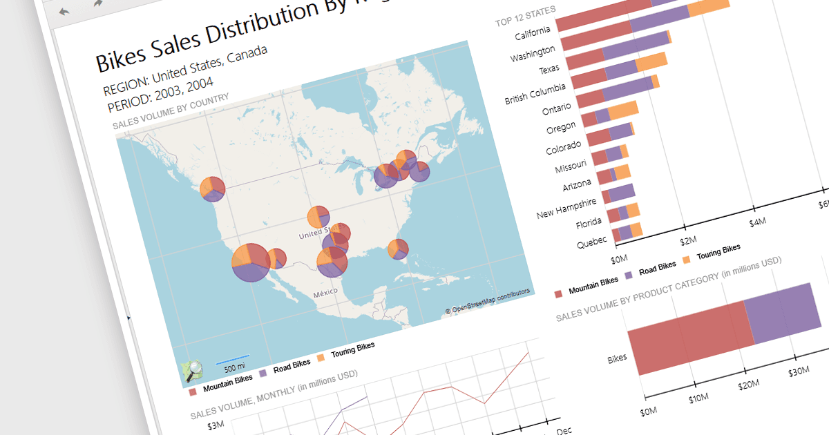
Reporting controls with map support empower developers to create insightful reports by visualizing location-based data. This functionality allows overlaying diverse datasets directly onto geographic layouts, facilitating spatial analysis and revealing patterns that might be hidden in traditional tables or charts. By integrating maps, reports become more interactive, engaging users and enabling location-specific data exploration. This ultimately enhances decision-making by providing clear and immediate visual insights into the geographical distribution of data. Maps offer a more intuitive way to communicate complex datasets, particularly valuable for demographics, regional sales, resource allocation, or any scenario where geographical context is crucial.
Several .NET 8 WinForms reporting controls offer maps, including:
- ActiveReports.NET Professional Edition by MESCIUS facilitates intuitive map data visualization for enhanced geographic data analysis within .NET applications.
- Telerik Reporting enables seamless integration of interactive maps to display spatial data correlations and trends across multiple platforms.
- List & Label Enterprise Reporting Edition by combit lets you create reports with detailed maps and geographic visualizations, helping you analyze your data more effectively.
- Stimulsoft Reports.Net offers powerful mapping capabilities, enabling developers to incorporate detailed geographic data representations directly into their reports.
For an in-depth analysis of features and price, visit our comparison of .NET 8 WinForms reporting controls.