将地理数据可视化添加到您的应用程序

1月 9, 2025
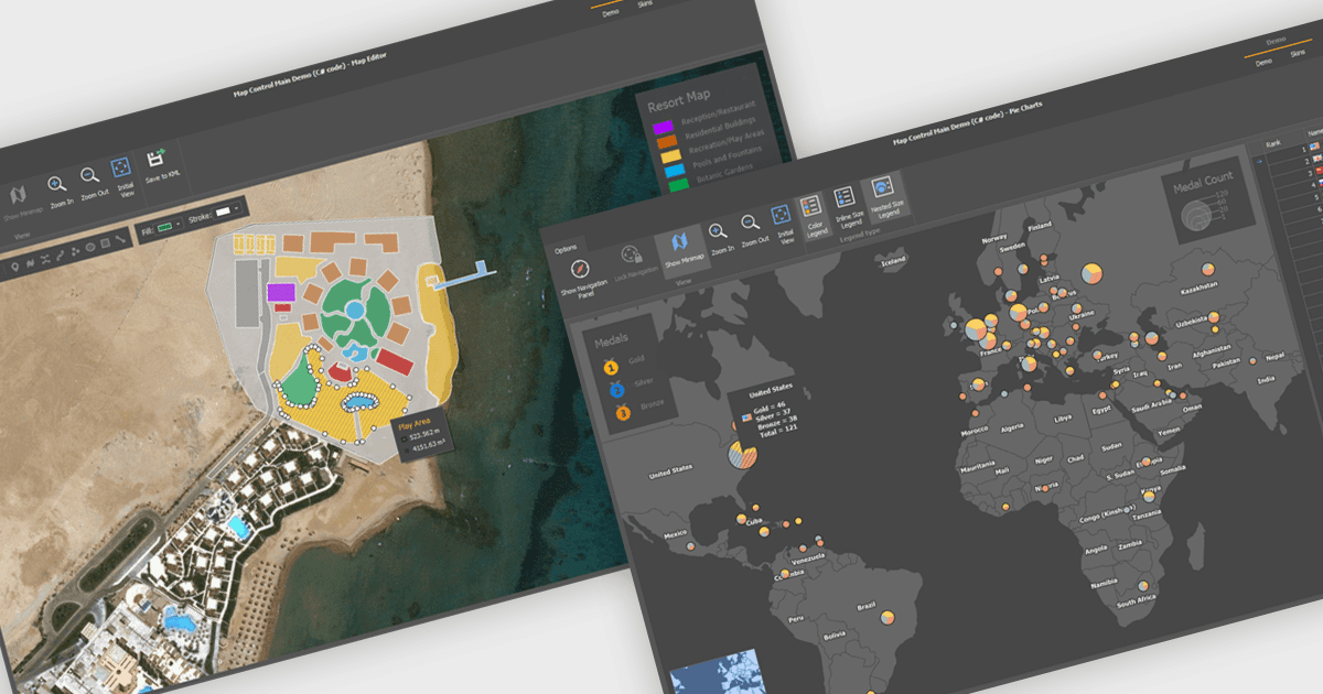
通过交互式地图增强您的应用程序,从而将数据转化为引人入胜的视觉效果,实现直观的探索和发现模式。

继续用英语阅读:

Maps are powerful tools for integrating geographic data and visualizations, enabling users to explore and understand information in a spatial context. With features like zooming, panning, and layering, maps provide an interactive way to analyze data and identify patterns. They support cross-platform compatibility, allowing consistent performance across devices, and can be customized to align with specific branding or design needs.

Several .NET WinForms UI suites offer map components including:

  • DevExpress WinForms lets developers integrate geographical and Cartesian maps with its Map control, supporting diverse data sources and interactive navigation.
  • ComponentOne Studio WinForms by MESCIUS includes a Map control for smooth zooming, panning, and mapping with built-in or custom data sources.
  • Telerik UI for WinForms provides a Map control to visualize geographical data, supporting multiple layers, projections, and customizable features.
  • MindFusion.WinForms Pack by MindFusion Group features a Map component that integrates interactive maps with support for layers and customizable elements.

For an in-depth analysis of features and price, visit our comparison of .NET WinForms UI suites.

Compare .NET WinForms UI Suites