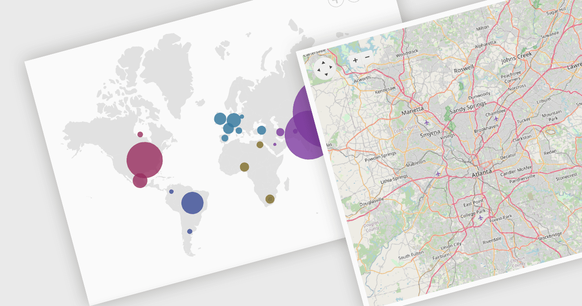
在 Blazor 應用中視覺化地理資料

4月 17, 2024
透過互動式地圖元件利用基於位置的清晰資訊的力量來為您的使用者提供資訊並增強其能力。

繼續用英語閱讀:

Map component extend your Blazor app's functionality by facilitating the display of geographic information. This allows you to visualize data with real-world location context, enhancing user understanding and engagement. Blazor map components often integrate with popular map providers and support features such as markers, layers, and customization, allowing you to create interactive and informative map experiences within your web application.

Several Blazor UI suites feature map components including:

  • Telerik UI for Blazor provides a feature-rich Blazor map component for visualizing geospatial information with various layer options and extensive customization.
  • Infragistics Ignite UI offers an interactive map component empowers visualization of geographic data from view models or shapefiles on customizable imagery maps.
  • Syncfusion Essential Studio Enterprise includes a Blazor map that utilizes OpenStreetMap, Google Maps, or Bing Maps, and supports custom shapes and bubbles.

For an in-depth analysis of features and price, visit our Blazor UI Suites comparison.

Compare Blazor UI Suites