Infragistics Ignite UI for Web Components Map
Display and interact with rich geographic data on dynamic web maps.
- Supports geographic imagery from Bing Maps and Open Street Maps.
- Render multiple types of geographic series including symbols and polylines.
- Handle tens of thousands of data points with real-time updates.

Prices from:
| Available in | |
|---|---|
| Infragistics Ignite UI | Loading |
| Infragistics Professional | Loading |
| Infragistics Ultimate | Loading |
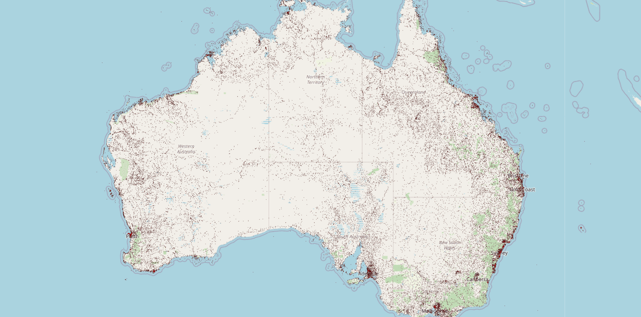
Geographic Imagery Rendering
Displays detailed map backgrounds using Bing Maps and Open Street Maps, providing rich and accurate geographic context for your data.
Multiple Geographic Series Types
Supports unlimited geographic series like symbol series for points, polyline series for routes, shape series for polygons, and contour line series for advanced visualizations.
Data Binding to Custom Models
Binds geographic data directly from custom data models using properties such as latitude and longitude member paths for precise plotting.
Real-Time Data Plotting
Efficiently renders tens of thousands of data points with frequent update cycles, enabling visualization of dynamic and streaming geographic data.
Customizable Navigation Behaviors
Provides built-in support for mouse, keyboard, and programmatic navigation to pan and zoom maps intuitively within web applications.
Flexible Series Collection
Manages geographic series through a collection property, allowing easy addition and control of multiple data visualizations on a single map.
Product Compatibility
Review the details below to ensure this product is supported within your environment.
Component Type
- JavaScript
JavaScript Platform
- Vanilla JavaScript
- Web Component
About Infragistics
Infragistics, founded in 1989 and headquartered in Cranbury, New Jersey, has established itself as a global force in UI/UX development, serving software professionals in over 100 countries. It is widely recognized for its comprehensive libraries and frameworks supporting web, desktop, and mobile platforms, including solutions tailored for .NET, Angular, React, and other leading technologies. With offices spanning Europe, Asia, and South America, Infragistics delivers components that enable efficient application development and rich user experiences. Its commitment to innovation and customer satisfaction positions it as a trusted partner for developers and organizations worldwide seeking quality and flexibility in their digital projects.

As official and authorized distributors since 1996, ComponentSource supplies you with legitimate licenses directly from Infragistics.