Infragistics Ultimate UI for jQuery Geographic Map
Visualize geographic data with customizable map layers and markers.
- Render geographic data as markers, lines, polygons, or interactive bitmaps.
- Overlay multiple map layers, including Bing and Open Street Maps.
- Add custom HTML-based tooltips for enhanced user information display.

Prices from:
| Available in | |
|---|---|
| Infragistics Ignite UI for jQuery | Loading |
| Infragistics Professional | Loading |
| Infragistics Ultimate | Loading |
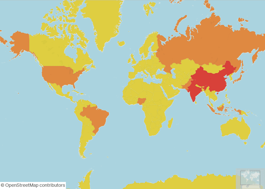
Rich Geographic Data Visualization
Render extensive geographic data sets as markers, lines, polygons, or even interactive bitmap images to provide clear spatial insights within applications.
Multiple Map Layer Support
Overlay several map layers from providers like Bing Maps and Open Street Maps, allowing diverse geographic imagery and data to be combined for rich visualization.
Custom Marker Styling
Apply custom colors and marker designs to signify different geographic data points or areas, facilitating easier differentiation and analysis of map elements.
Interactive Custom Tooltips
Use HTML-based tooltip templates to display detailed information dynamically when users interact with map elements, improving user engagement and data clarity.
Flexible Data Overlays
Support for multiple data overlays enables the presentation of complex geographic information concurrently, with layers that can be toggled and combined as needed.
Support for Common Geographic Formats
Compatible with common map imagery formats and tile sets from popular providers, ensuring wide coverage and consistent map rendering.
User-Friendly Map Navigation
Includes intuitive controls for zooming, panning, and exploring the map, making it easy for users to interact with geographic data.
Product Compatibility
Review the details below to ensure this product is supported within your environment.
Component Type
- JavaScript
JavaScript Platform
- AngularJS
- jQuery
- Knockout.js
- Vanilla JavaScript
About Infragistics
Infragistics, founded in 1989 and headquartered in Cranbury, New Jersey, has established itself as a global force in UI/UX development, serving software professionals in over 100 countries. It is widely recognized for its comprehensive libraries and frameworks supporting web, desktop, and mobile platforms, including solutions tailored for .NET, Angular, React, and other leading technologies. With offices spanning Europe, Asia, and South America, Infragistics delivers components that enable efficient application development and rich user experiences. Its commitment to innovation and customer satisfaction positions it as a trusted partner for developers and organizations worldwide seeking quality and flexibility in their digital projects.

As official and authorized distributors since 1996, ComponentSource supplies you with legitimate licenses directly from Infragistics.