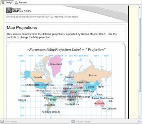
Nevron Map for SSRS allows you to control the displayed geographical bounds in several ways:
- Fit To Bounds - the map is fitted to automatically determined bounds or custom ones. You can individually specify automatic or custom min and/or max longitude and/or latitude values for the map bounds.
- Fit To Layer - the map is fitted to the content of a user specified layer. This is useful when you display multiple layers and want to zoom to a specific one.
- Fit to Data Bound Shapes - not all shapes of the map can be bound to the respective layer data table. This mode lets you zoom only to the shapes which are bound to data.
- Fit to Matching Shapes - lets you fit the map to the shapes that match a specific criteria.
Nevron Map for SSRS can be zoomed to a user specified zoom percent.
Nevron Map for SSRS can also be centered in several ways:
- Center To Percents - the map is centered to use specified percents relative to the current map bounds.
- Center To Layer - the map is centered to a specific map layer.
- Center To Data Bound Shapes - not all shapes of the map can be bound to the respective layer data table. This mode lets you center the map to the shapes which are bound to data.
- Center To Matching Shapes - lets you center the map to the shapes that match a specific criteria.


