
Nevron Map for SSRS
Advanced mapping and geospatial data visualization tool for Reporting Services.
Published by Nevron
Distributed by ComponentSource since 1999
Prices from: $ 685.02 Version: 2026.1 Updated: Apr 29, 2026
Advanced mapping and geospatial data visualization tool for Reporting Services.
Published by Nevron
Distributed by ComponentSource since 1999
Prices from: $ 685.02 Version: 2026.1 Updated: Apr 29, 2026
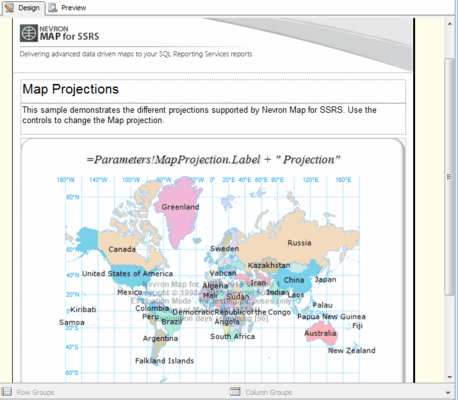

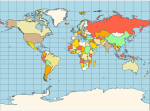
Miller Cylindrical - a modified Mercator projection, proposed by Osborn Maitland Miller (1897-1979) in 1942. The parallels of latitude are scaled by a factor of 0.8, projected according to Mercator, and then the result is divided by 0.8 to retain scale along the equator.
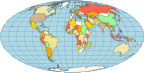
The Mollweide projection is a pseudocylindrical map projection generally used for global maps of the world (or sky). Also known as the Babinet projection, homolographic projection, or elliptical projection. As its more explicit name Mollweide equal area projection indicates, it sacrifices fidelity to angle and shape in favor of accurate depiction of area. It is used primarily where accurate representation of area takes precedence over shape, for instance small maps depicting global distributions.
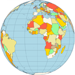
Orthographic - a perspective (or azimuthal) projection, in which the sphere is projected onto a tangent plane. It depicts a hemisphere of the globe as it appears from outer space. The shapes and areas are distorted, particularly near the edges, but distances are preserved along parallels.
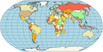
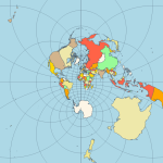
Stereographic - it is a particular mapping (function) that projects a sphere onto a plane. The fact that no map from the sphere to the plane can accurately represent both angles (and thus shapes) and areas is the fundamental problem of cartography. In general, area-preserving map projections are preferred for statistical applications, because they behave well with respect to integration, while angle-preserving (conformal) map projections are preferred for navigation. The stereographic projection falls into the second category.
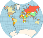
Van der Grinten - neither equal-area nor conformal projection. It projects the entire Earth into a circle, though the polar regions are subject to extreme distortion. The projection offers pleasant balance of shape and scale distortion. Boundary is a circle; all parallels and meridians are circular arcs (spacing of parallels is arbitrary). No distortion along the standard parallel at the equator.
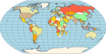
Wagner VI - a pseudocylindrical whole Earth map projection. Like the Robinson projection, it is a compromise projection, not having any special attributes other than a pleasing, low distortion appearance.
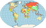
Winkel Tripel - a modified azimuthal map projection proposed by Oswald Winkel in 1921. The projection is the arithmetic mean of the equirectangular projection and the Aitoff projection. Goldberg & Gott show that the Winkel Tripel is arguably the best overall whole-earth map projection known, producing very small distance errors, small combinations of ellipticity and area errors, and the smallest skewness of any map. In 1998, the Winkel Tripel projection replaced the Robinson projection as the standard projection for world maps made by the National Geographic Society.
Tel: (888) 850 9911
Fax: +1 770 250 6199


